So we manufacture the data
Slide 4 showed the field's lineage of renderers; this is ours. Raymarched fractal signed-distance fields: no asset library, no textures to buy, and the labels come free because two views of one scene are matched by 3-D surface coordinate. Three columns, three kinds of choice.
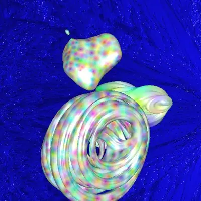
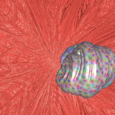
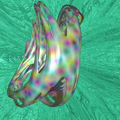
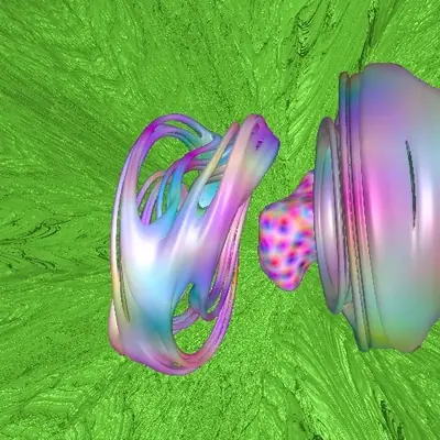
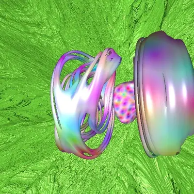
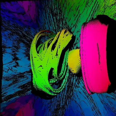
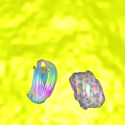
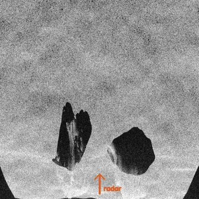
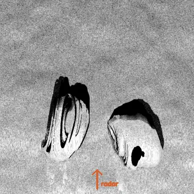
Labels exact by construction. Supply unlimited. And every property of the training set, the objects, the lighting, the camera, the motion, even the sensor, is now a choice someone makes.
More: the radar column, and the side-looking view between camera and SARfigure
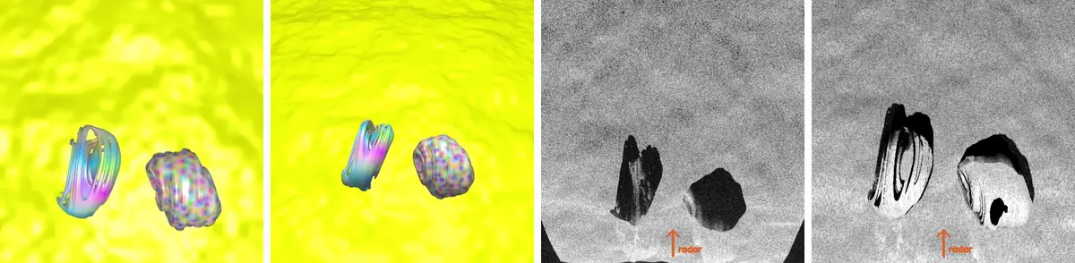
The radar image is not a shaded render. A platform flies a straight track, the scene's surface points act as scatterers, each pulse's echo is recorded and the image is reconstructed by coherently integrating the phase history over the synthetic aperture, so speckle, sidelobes, layover and shadow are all earned by the geometry rather than painted on. Geocoding then runs backward from every map pixel through the scene's own surface to the range and azimuth the radar measured, which is what real terrain-corrected products do with a DEM.
Which of those choices makes a synthetic dataset good? Chapter 3 answers: the motion. The generator itself runs in the fractal explorer under Chapter 4.